-2.png)
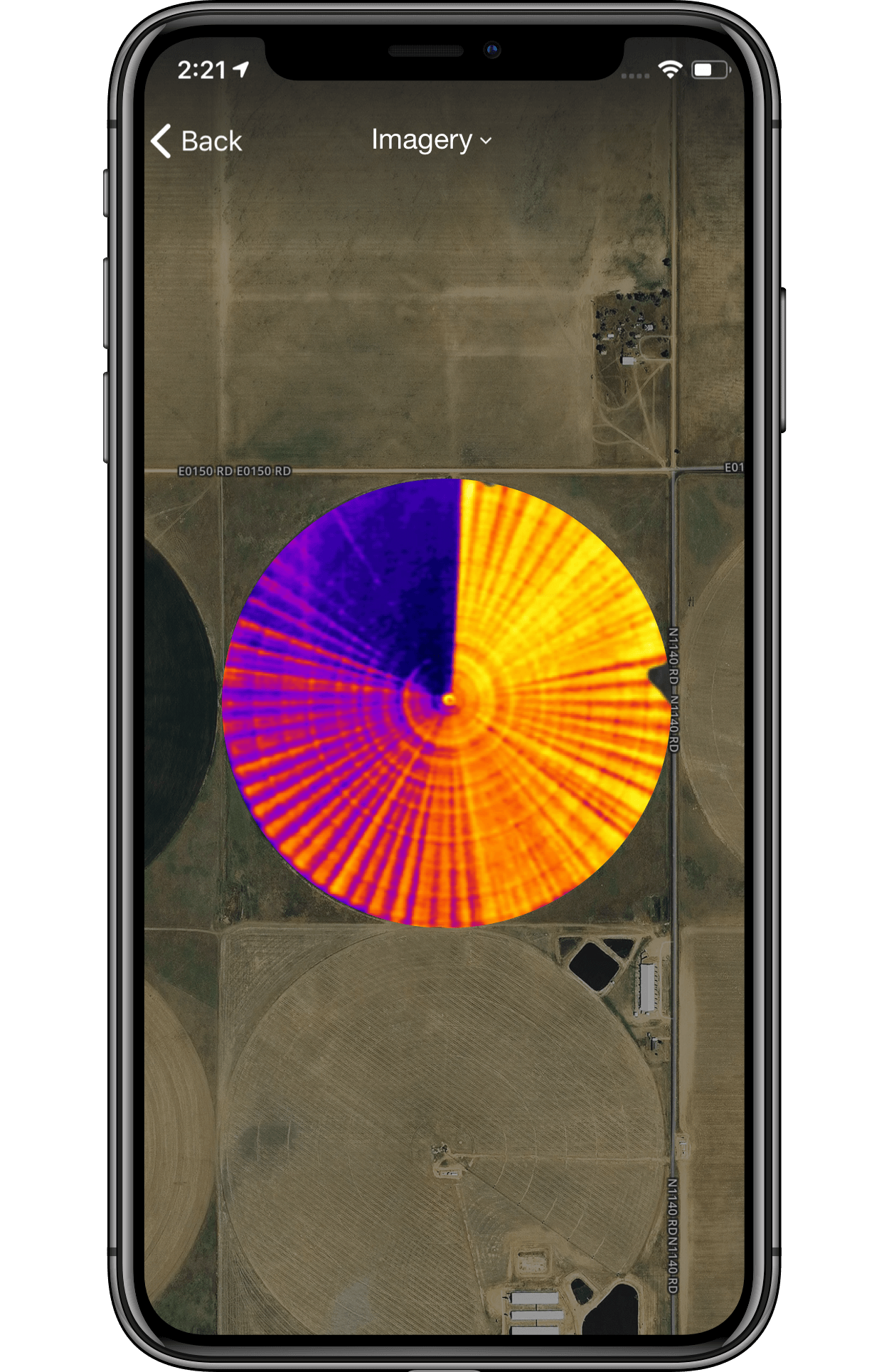
Get Aerial Imagery for just $4.25/acre.
• 13-15 flights per season scheduled specifically for your region to capture critical moments throughout the season
• Ultra high resolution (0.2-0.5 meters) allows you to remotely monitor crop health and guides decision-making
• Toggle between true color, color infrared, thermal, and NDVI images to reveal issues before they become apparent to the naked eye
• Includes satellite imagery giving you more images throughout the season for the complete picture of what’s happening in your fields

will answer any questions you have.
NEW TO FARMLOGS?
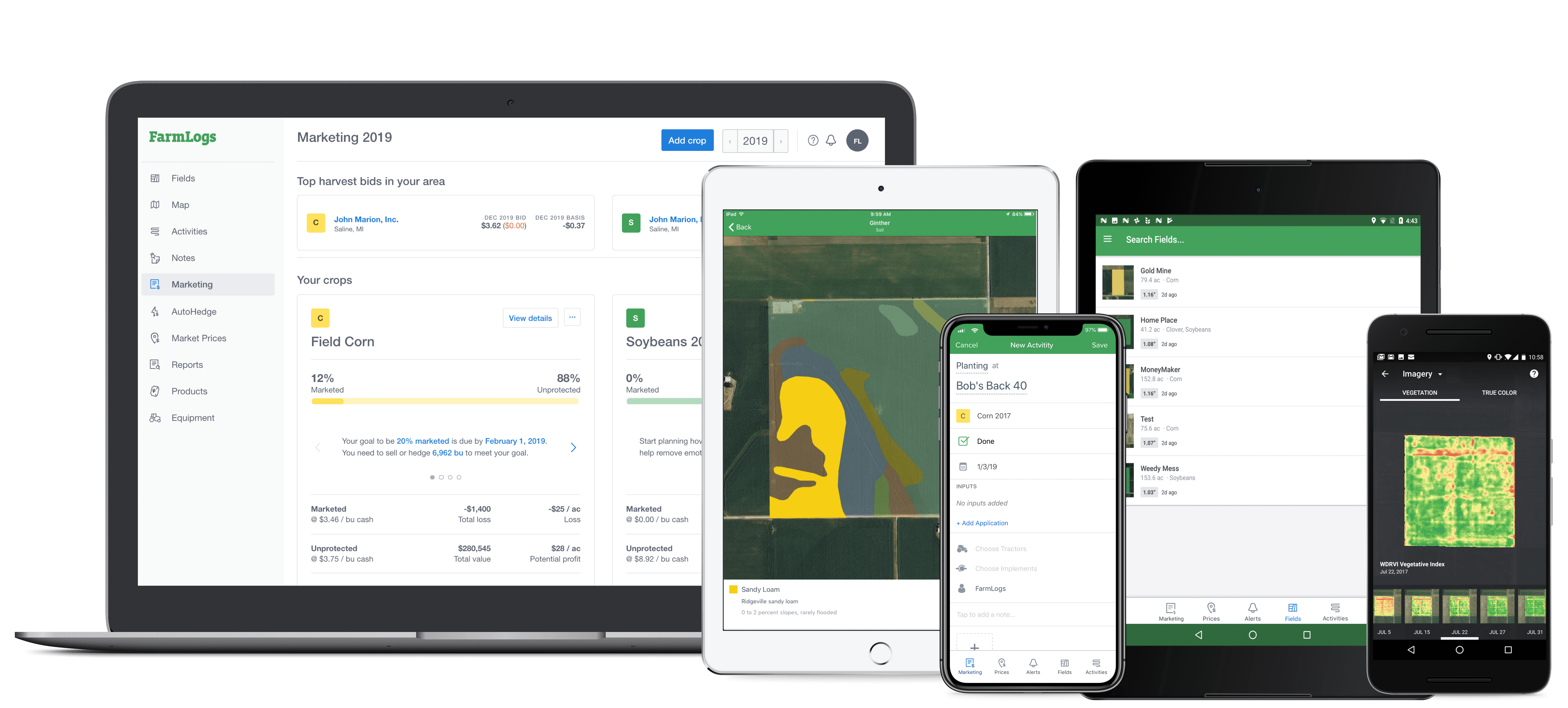
With a FarmLogs account, you can:
- Monitor field conditions
- Plan and manage crop production
- Market your grain

Secure Data, 100% Yours
We take privacy and security very seriously. Our website and application use secure 256-bit encryption to make sure your connection is always safe and your data is secure.
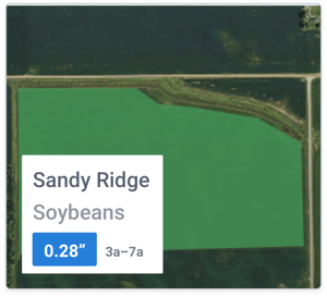
Fields & Recent Rain
Get an aerial view of your fields' location with satellite maps, and plan your day better by remotely tracking how much rain your fields receive.
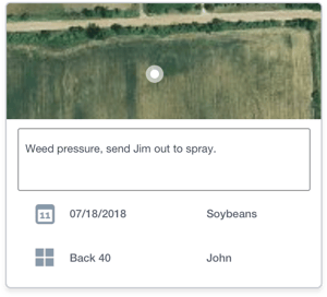
Scouting
Log geotagged notes and pictures while you're out in the field to recall or share later.
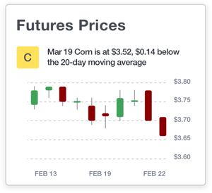
Future Prices
See current futures prices, and track price fluctuation and market carry to know if delivering your grain later is worth the wait.
